Geospatial AI technology serves as the foundation for your location-based services and applications.
However, if you are working with Geospatial AI, chances are that you face these challenges in implementing Geospatial AI solutions:
Inconsistent and bad-quality datasets
Data takes time to reflect changes in the geographical areas
Datasets are biased toward the English language as learning datasets in other languages is unavailable
Companies lack the right tools and resources for geospatial analysis
Data points are not standardized across countries and locations
Making Geospatial AI work for you
Opporture helps you make the most sense of your objects’ locations, with data from satellite, aerial, and drone imagery. Our Geospatial AI services find use cases across energy, agriculture, logistics, security, and mapping.
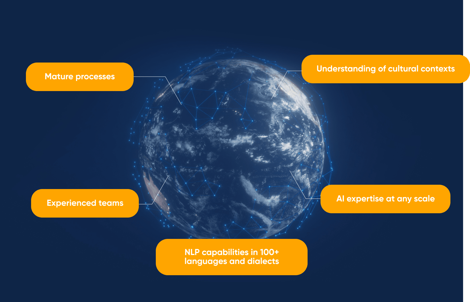
To give your company the best results in Geospatial AI, we leverage:
Services Rendered
Our Content Distribution experts have helped a myriad of companies across sectors:
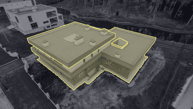
Polygon Annotation
Annotate the exact edges of the target objects regardless of shape, with our expert annotators.
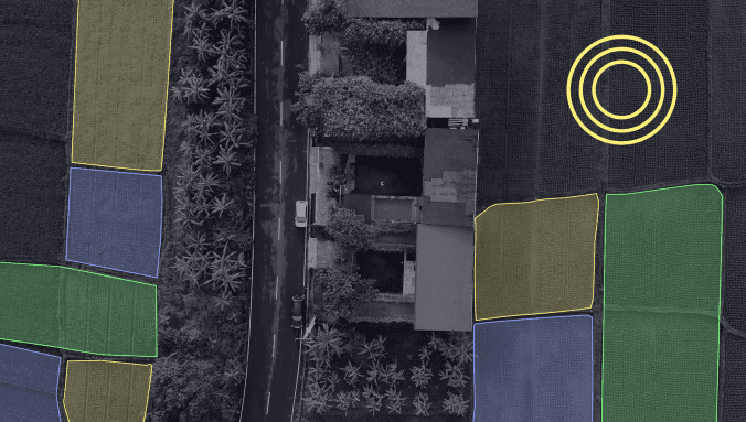
Semantic Segmentation
Segment images, detect desired objects between them, and then annotate them.
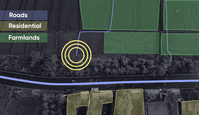
Image Classification
Classify images or objects within images using custom multi-level taxonomies such as land use, crops, and residential property attributes.
Object Tracking
Get a deeper understanding of the scene by detecting certain instances of semantic objects in digital images and videos.
Lidar Annotation
Build accurate, high-quality, ground truth datasets through 360-degree image and video labeling.
Point of Interest Marking
Extract insights about areas of interest, including attributes, seasonal and temporal variations, and behavioral patterns.